Aloha ,
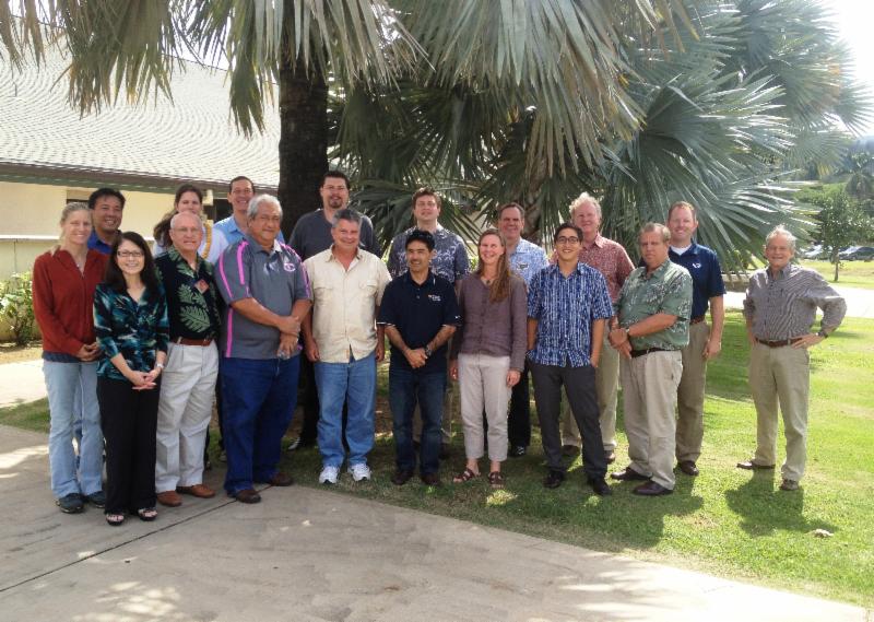
Representatives from the federal U.S. Army Corps of Engineers (USACE), the City & County of Honolulu, Hawaii Reserves, Inc. (HRI), Laie Community Association, BYU-Hawaii, the Polynesian Cultural Center and planning consultants recently held a planning "charrette" in Laie to kick off the next phase of the Wailele Flood Risk Management Feasibility Study. Completing the study is the first step in solving flooding in Laie that is caused primarily by the Wailele stream and its inadequate outfall.
The historic planning charrette was organized by the USACE and HRI. Deborah Solis, a civil and public works project manager for the USACE, said, "This charrette brings together key area stakeholders and experts to explore the best ways to reduce flood risks to the community associated with flooding from the Wailele Stream."
Wailele Stream
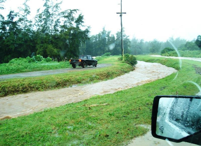
Wailele runs between the southern boundary of Laie and BYU-Hawaii's campus and flows into the ocean. During massive storms - like the December 2008 storm that caused flooding islandwide and here in Laie - the stream can overflow into the community.
 | | Wailele Stream during December 2008 storm |
The highway is elevated several feet above Laie and acts like a dam, and the stream's outfall conduit under the highway is woefully insufficient.
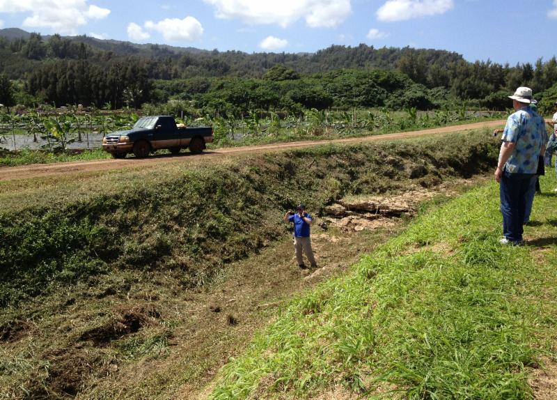
 | | Charrette site visit to Wailele Stream |
During the heaviest rainfall events, the Wailele basin can generate about 5,000 cubic feet per second (CFS), but the outfall capacity of the conduit under the highway is only about 700 CFS, causing water to quickly back up and flow northward through the Polynesian Cultural Center into the community.
In the aftermath of Hurricane Iwa in 1982, a $5.8 million project was undertaken by the USACE to modify the Kahawainui and Laiewai streams. A concrete channel, excavated earth channel, floodwalls and levees were constructed and two roadways were raised.
 | | USACE Kahawainui Flood Control Project (1990) |
Since its completion in 1990, the northern parts of the community have generally been protected from flooding. Similar benefits are expected for the southern part of Laie if a USACE flood control project is approved for the Wailele Stream.
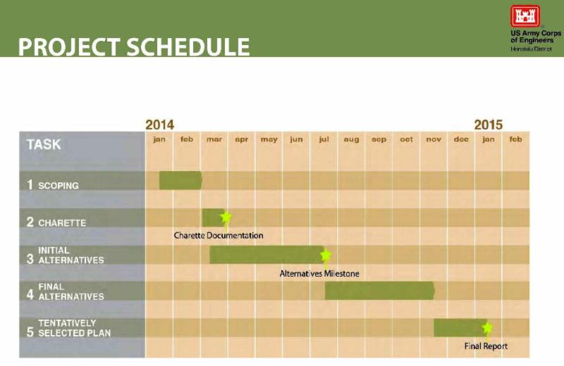
Funding The Study In December of 2012 the Honolulu City Council approved a critical cost sharing arrangement between USACE, the City & County of Honolulu, and Hawaii Reserves, Inc., to complete the flood risk management study for Wailele Stream. The study began in the early 1990s but wasn't pursued further for various reasons. The $600,000 plus required to finish the study is being funded 50% by the federal government, 25% by the city and 25% by HRI. Pane Meatoga, president of the Laie Community Association said, "Finding a drainage solution for Wailele is a top priority, so the community is grateful to the previous and current mayor and City administration, City Council Chair and district area representative, Ernie Martin, and HRI. This funding arrangement is a great example of a public-private partnership created to solve a difficult community challenge." Next Steps In addition to discussion and analysis, the charrette involved a number of on-site visits in the Laie area. The charrette group will narrow down drainage solutions to the top three options in the next few months.  | | Charrette site visit to the Pounder's Beach bridge outfall |
After that, follow-up study and analysis will take place along with another meeting with the USACE to decide on a tentatively selected plan by the first quarter of next year. The goal is to identify the best flood mitigation plan for the area that meets all USACE flood risk mitigation requirements.  If the proposed project is authorized for construction, the next steps include attempting to secure funding for the proposed project and engineering design. USACE project manager, Deborah Solis remarked, "We're very pleased to be at this point in the process and look forward to identifying the best flood risk mitigation plan for this community." On The Right Track Pane Meatoga, president of the Laie Community Association was there for all three days of the charrette. Meatoga said, "The meetings, discussions and site visits were very productive, with all the right people from the City and Federal government, landowners, stakeholders and community all here to assess and decide on real world, long-term drainage solutions for Laie. We're on the right track."  Meatoga added, "The community association has had a seat at the table all along, and will continue to be fully engaged with the Army Corps, the Laie entities, City government and other key players to help identify and implement the best drainage solutions for Laie." Mahalo,
The Envision Lā'ie Team |