|
|
|
|
|

________________________
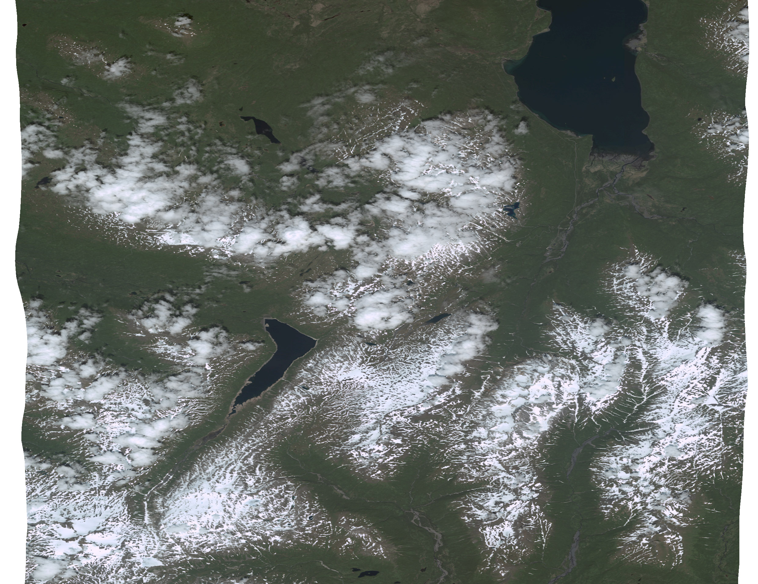
September Imagery Quiz: Where is this?
(Click on the above image for a full resolution image)
The first person to email us at info@e-terra.com with the correct latitude and longitude wins an iPod!
Here are a few hints:
· The image is within a 750
miles radius of Anchorage
· Located in Alaska
· north is UP
· LL84
We will present solution and a winner in the next newsletter, good luck!
|
 ________________________ ________________________
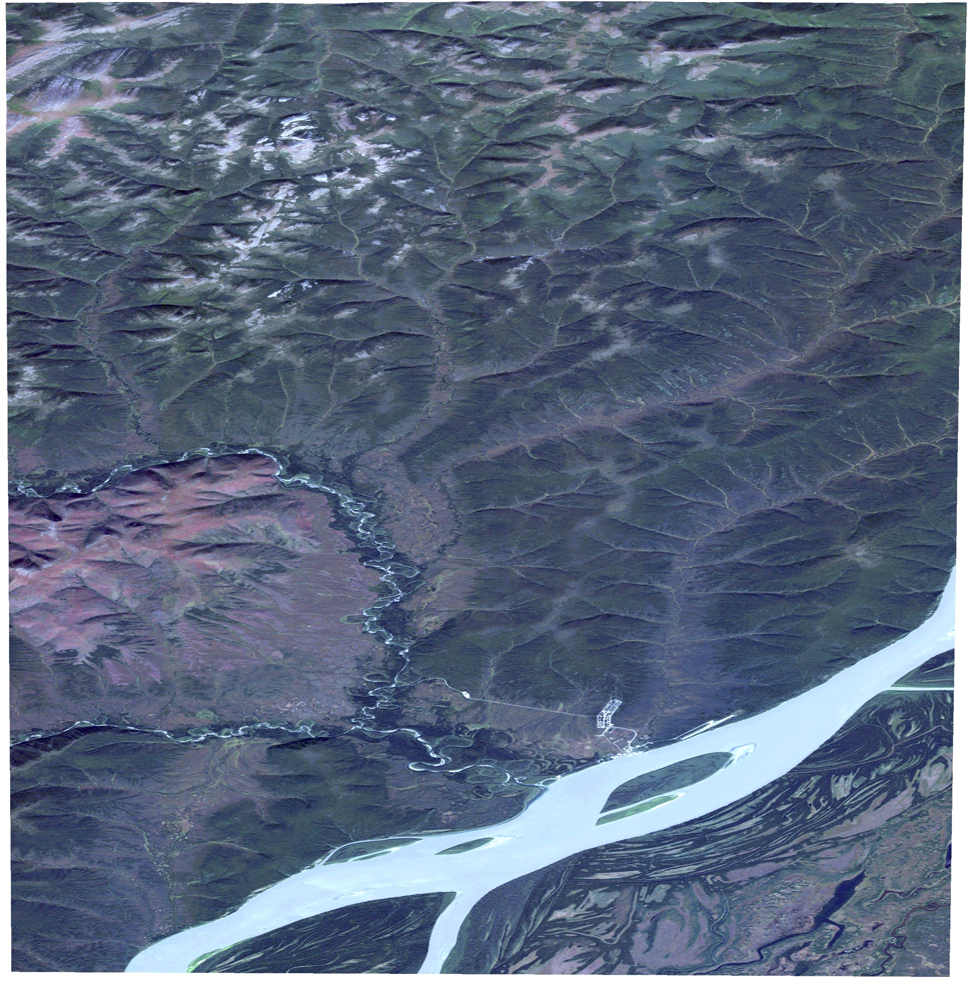
The Answer to August's Quiz:
(Click on image for a better image)
Last month's quiz image depicted Nulato, 64 degrees 42'55.24 N, 158 degrees 05' 13.90 W.
Congratulations Joel Stratman, we hope you enjoy your new iPod!
|
|
Last Call for New Satellite Imagery
Before the Snow Flies in Alaska!
|
Greetings ,
We have reached the part of the season where we can expect a few clear days of good flying and possible new satellite imagery collection before the snow stays on the ground. Some orders in the past were placed too late to allow a reasonable time frame to collect new images before snowfall or the sun angle gets too low. With the seasonal change of the maximum sun angle during the course of the day we will reach a point where northern slopes are getting too dark to be of much use in the imagery. After mid-October the sun angle will be too harsh, or if the snow falls before then, it will be too late to collect your imagery and you will have to wait until May.
The past couple of summers have been the old-style Alaskan summers, cold and wet. We hope you had a good one!
Sincerely,
Steve Colligan, President
|
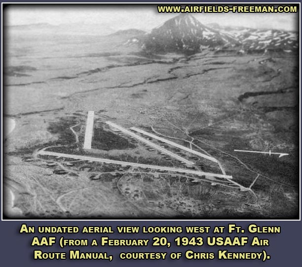
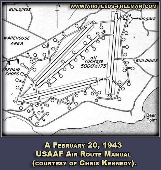
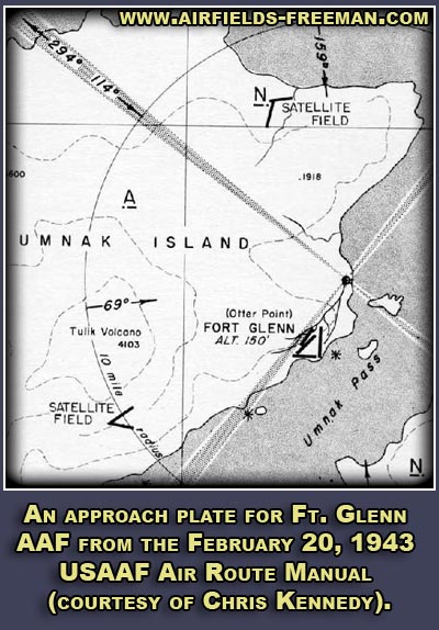
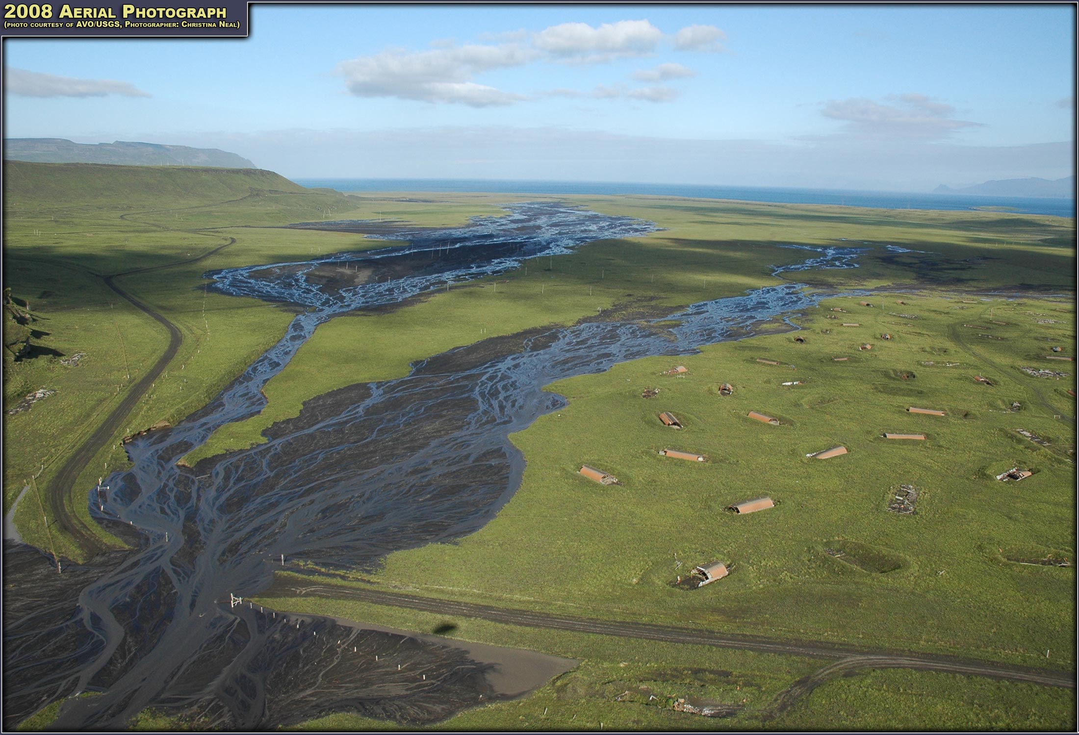
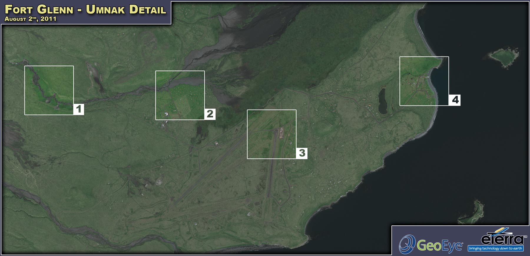
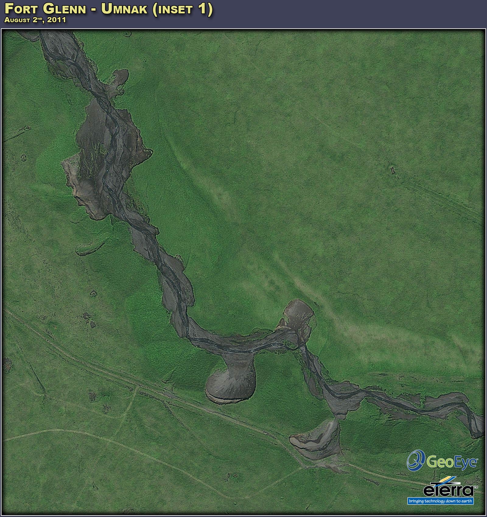
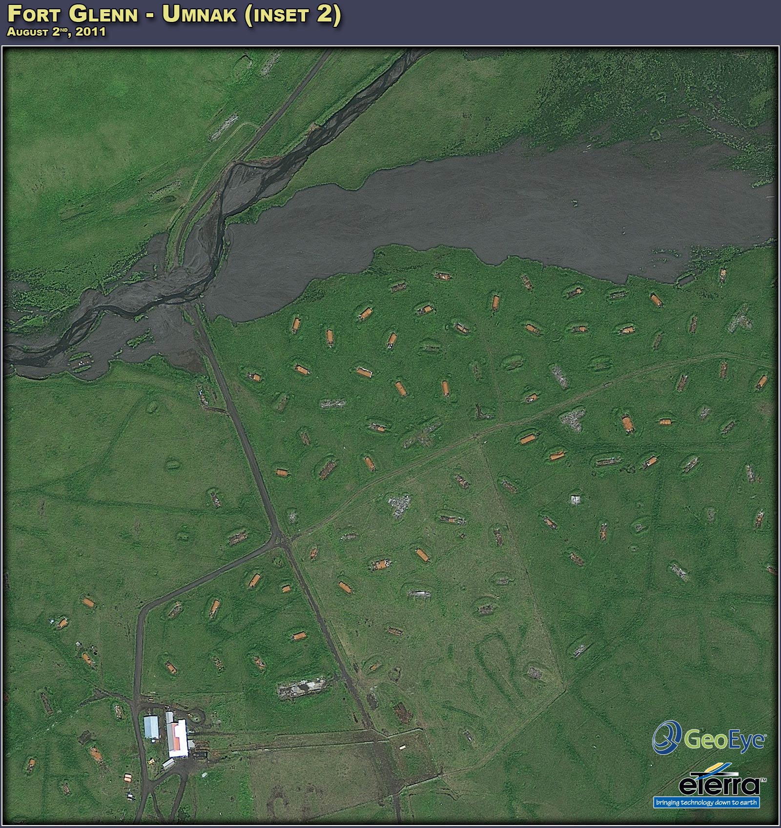
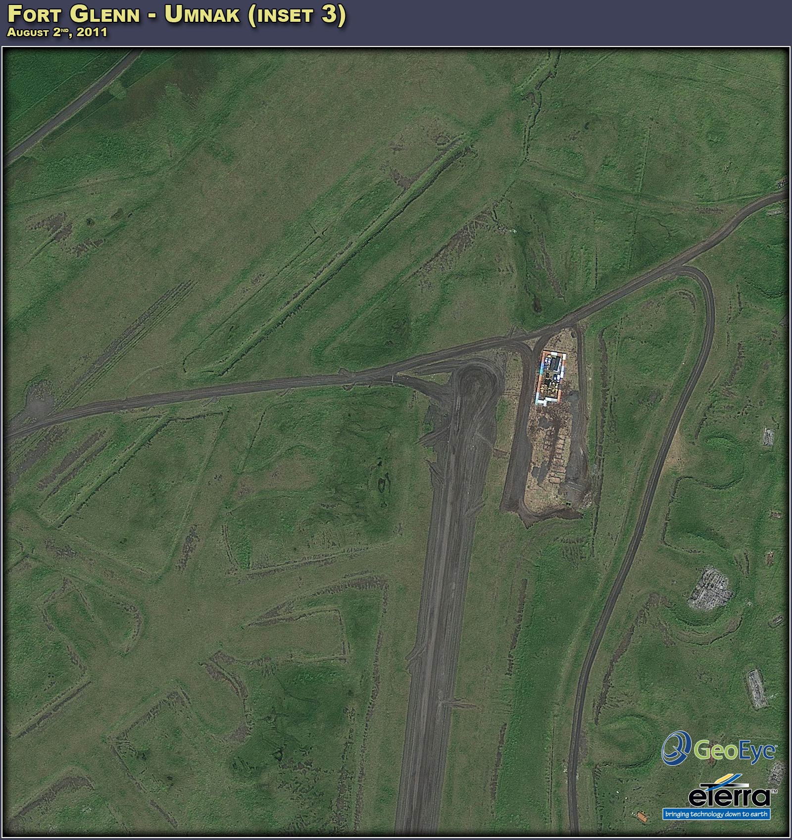
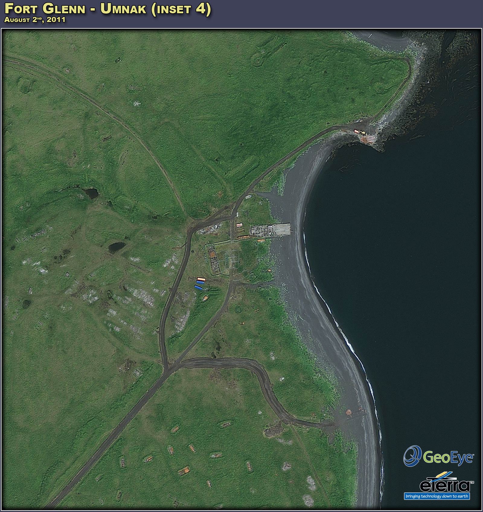
 Feature Article: Fort Glenn
(Click to display this 34 x 50 inch poster in a higher resolution preview)

(Click to display in higher resolution).
|
DigitalGlobe Imagery
(Click to display in higher resolution).
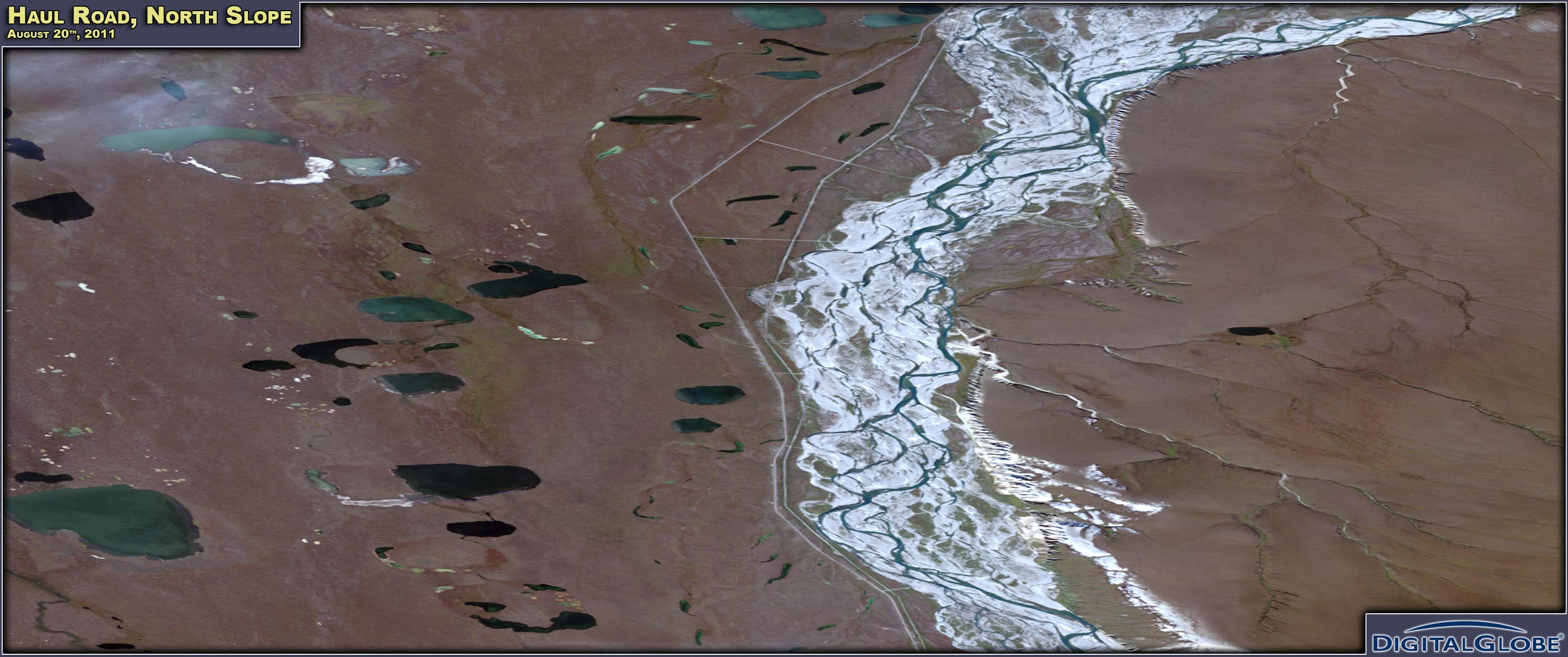
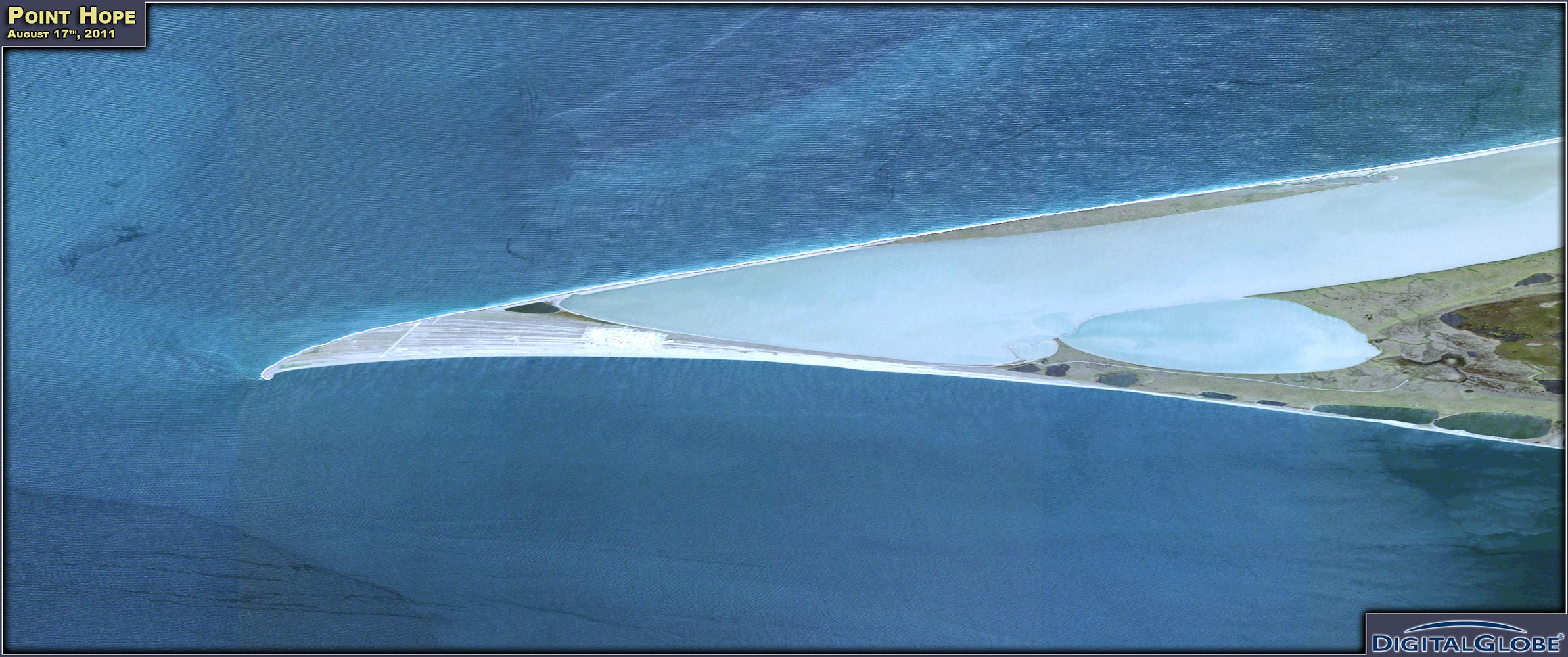
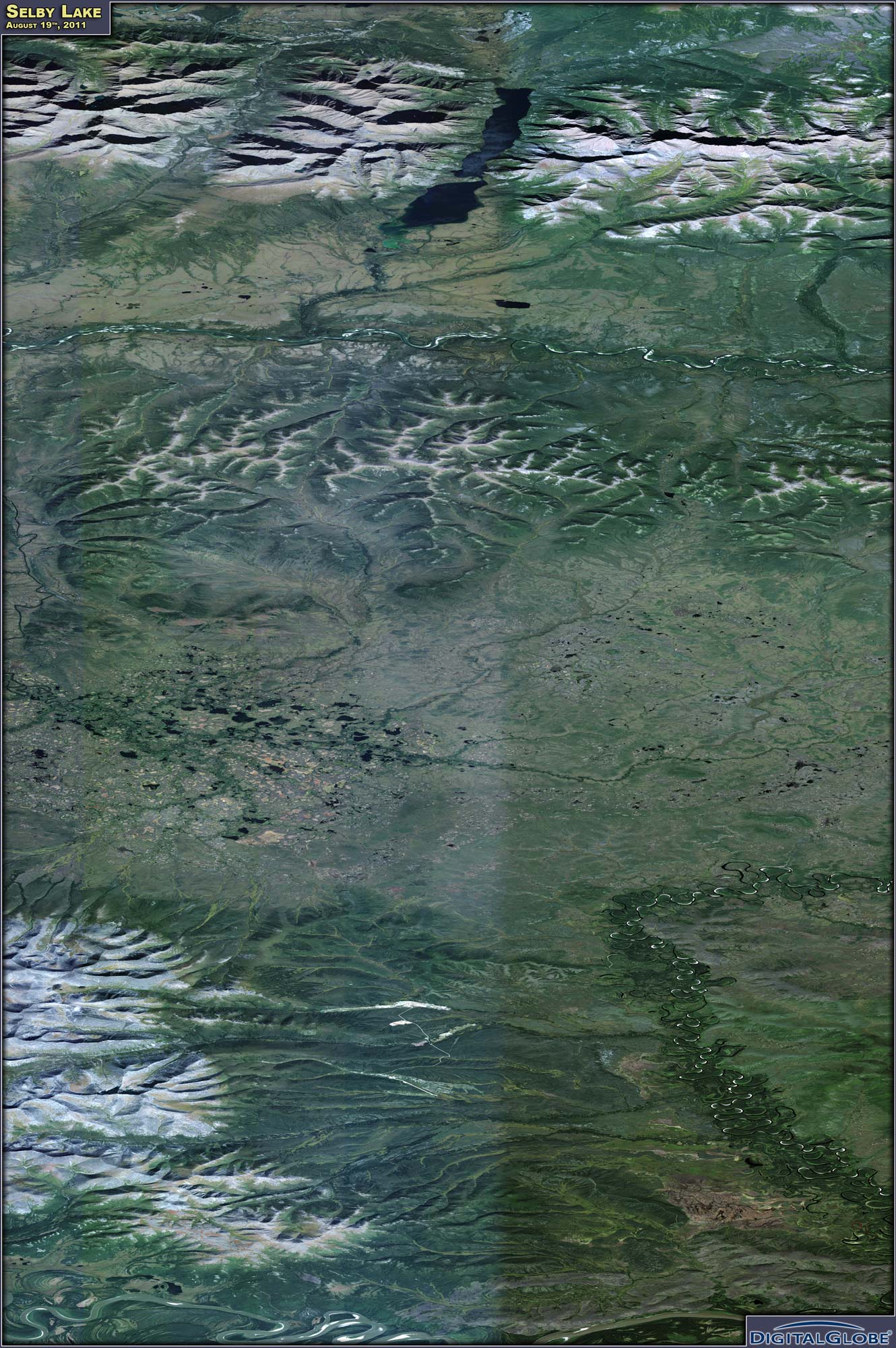
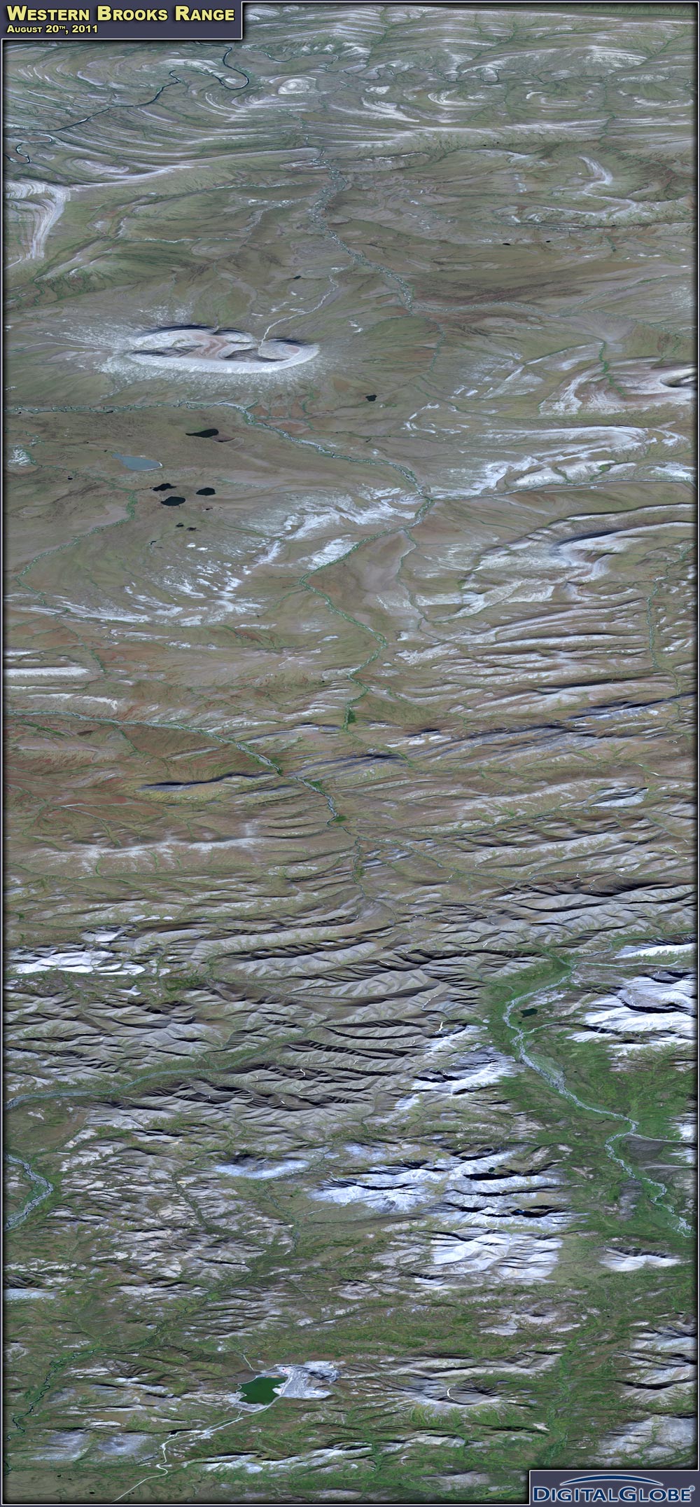
Above (from left to right, top to bottom): Akun & Akutan Islands, the Haul Road, Point Hope, Selby Lake, the Western Brooks Range, and the Yukon River.
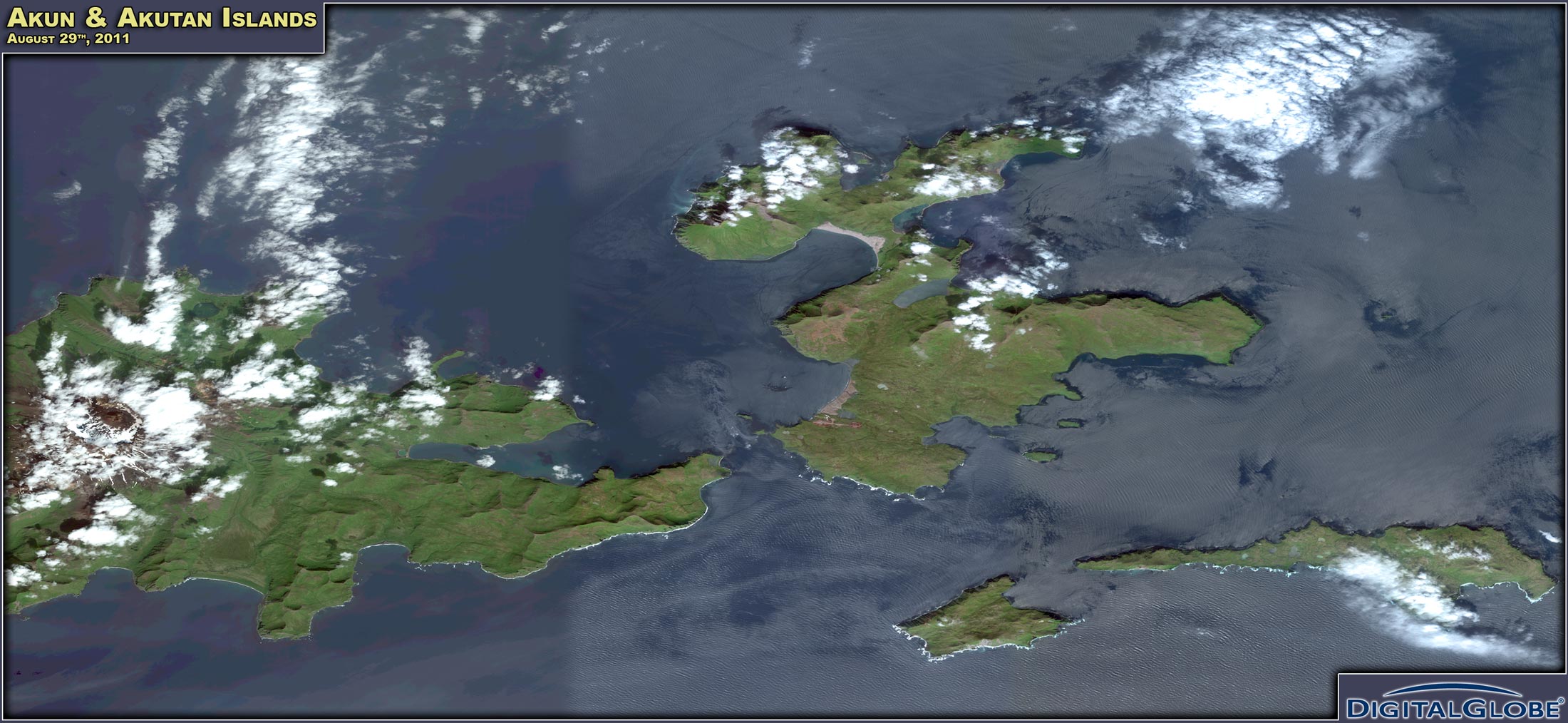
Akun & Akutan Islands:
Three WorldView-2 images captured some of the eastern Aleutian Islands on August 29th, a nice day with few clouds. There's all of Akun Island, most of Akutan Island (except for its western coast), and the smaller islands to the south of Akun Island. The active volcano Mt. Akutan with its large circular caldera is visible through some clouds. The only town in the area is Akutan, with a population of about 1000 people, mostly seasonally employed at the local fish processing plant, with less than 100 year-round residents. Akun Island is populated by cows which were introduced by the Russians.
Haul Road, North Slope:
This August 20th QuickBird-2 image shows an area about 25 miles south of Deadhorse. The Sagavanirktok River dominates the center of the image. The Dalton Highway and the Trans-Alaska Pipeline run parallel to the river on its western side. Further west lies the flat tundra of the North Slope. There are some hills with elevations up to 961 feet on the eastern side of the river, which cuts into them creating the Franklin Bluffs. The sun elevation for this image (at almost 70 degrees northern latitude) was 31 degrees. By mid-September the zenith sun angle for this area was only around 23 degrees. Illumination conditions are deteriorating fast at this time of the year. This particular image was also taken with a large off nadir angle of 39 degrees, leading to some distortions.
Point Hope:
Two satellite images of Point Hope was acquired on August 17, 2011, one QuickBird-2 and the other GeoEye-1. Both overview images show approximately the same area around this arctic village by the Chukchi Sea with a current population of 674. Clearly visible in the images are the beach lines that form the ridged gravel spit where the village is located. In Inupiat, this peninsula is known as Tikigaq (Tikeraq), meaning index finger. The site has been continuously inhabited for 2000 years, and the remains of previous settlements include the archaeological Ipiutak site. The Ipiutak culture of the first centuries AD was a forerunner of the recent Inupiat culture. Besides the current settlement, the 4000 foot long airstrip is visible near the tip of the spit. To the east of Point Hope lie the ruins of Jabbertown, a late 19th century commercial whaling station.
Selby Lake:
These two August 19th WorldView-2 images cover the area between Hogatza in the south to the southern Brooks Range (Schwatka Mtns) in the north. To the south of the Schwatka Mountains, there are Narvak and Selby Lakes and the upper Kobuk River Valley. The Continental Divide separates the Kobuk River area from the catchment area of the Hogatza River, which is a tributary to the Koyukuk River. Hogatza, with the Hog River Landing strip, is located to the east of the Zane Hills. The area has seen placer mining activity since the early 1990's (with some interruptions), and tailings are visible in the image.
Western Brooks Range:
This is a nice, cloud free, August 20th WorldView-2 image part of the De Long Mountains (western Brooks Range). The Red Dog Mine can be seen in the southern part of the image. It is also worth zooming in to then northern (North Slope) part of the image to look at the beautiful and interestingly shaped Igloo Mountain.
Yukon River:
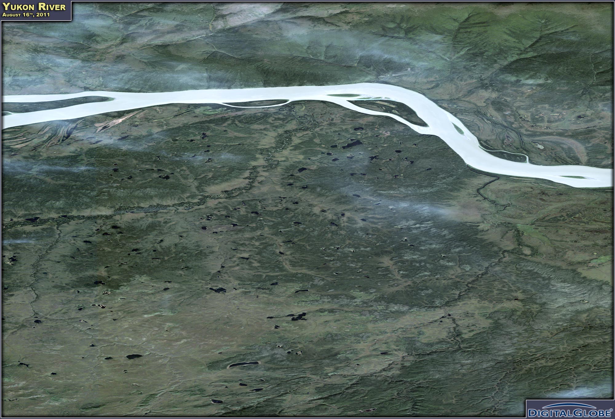
This August 16th QuickBird-2 image shows the Yukon River downstream of Tanana, with Darvin and Swanson Islands. The tailings of the Grant Creek Mine are visible to the north of the river.
|
GeoEye Imagery
(Click to display in higher resolution).
Above (from left to right): Chena Hot Springs, Point Hope, Stewart River, and Teller.
Chena Hot Springs:
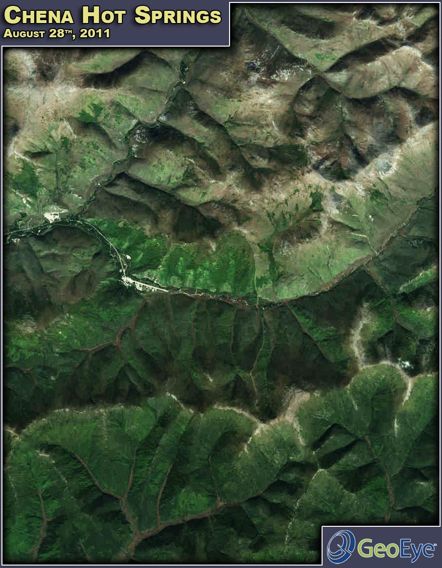
Here's a spectacular GeoEye-1 shot of the Chena Hot Spings area, acquired on August 28th. The end of the Chena Hot Springs Road, with the airstrip and the resort area are visible, as well as the Monument Creek and its confluence with the North Fork of the Chena River downriver of the resort. Apart from the resort, Chena Hot Springs is also home to a geothermal power plant operating since 2006.
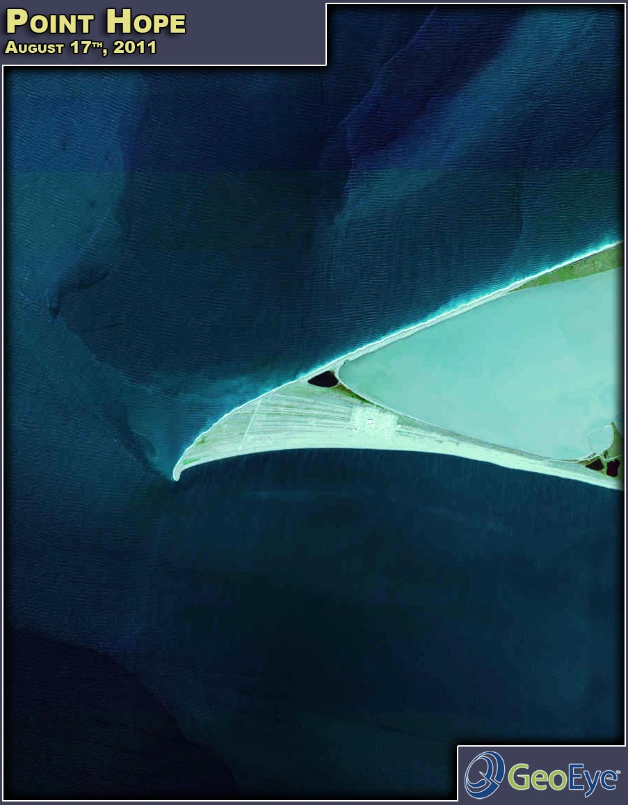
Two satellite images of Point Hope were acquired on August 17, 2011, one QuickBird-2 and the other GeoEye-1. Both overview images show approximately the same area around this arctic village by the Chukchi Sea with a current population of 674. Clearly visible in the images are the beach lines that form the ridged gravel spit where the village is located. In Inupiat, this peninsula is known as Tikigaq (Tikeraq), meaning index finger.
The site has been continuously inhabited for 2000 years, and the remains of previous settlements include the archaeological Ipiutak site. The Ipiutak culture of the first centuries AD was a forerunner of the recent Inupiat culture. Besides the current settlement, the 4000 foot long airstrip is visible near the tip of the spit. To the east of Point Hope lie the ruins of Jabbertown, a late 19th century commercial whaling station.
Stewart River:
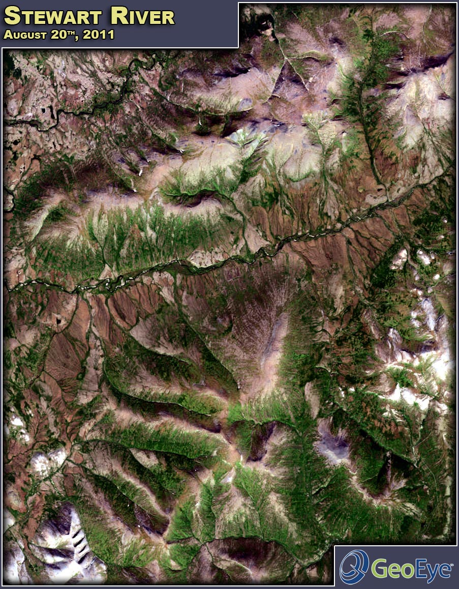
Another recent August 20th cloud free GeoEye-1 image shows the Stewart River valley northwest of Nome in the Seward Peninsula.
Teller:
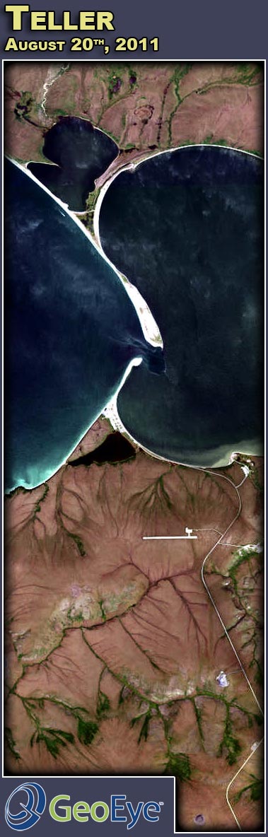
This beautiful GeoEye-1 image (acquired August 20th) shows the native village of Teller in the western Seward Peninsula. Teller is located on the sand spit between Port Clarence and Grantley Harbor at the end of the "Nome-Teller Highway", a 72 mile gravel road. It also has a 3000 foot runway. Teller takes its name from a reindeer station that was operated nearby from 1892 to 1900, when the U.S. Government introduced reindeer herding in Alaska. |
|
| About E-Terra, LLC
Founded in 1994, E-Terra is a skilled team of technology professionals with wide ranging expertise in computer solutions and products. E-Terra's knowledge of Geographic Information Systems (GIS), Databases, the Internet, and CAD systems provides you with complete solutions tailored to your specific needs. |
|
|
|
|
|
|